Iceland: Week 45

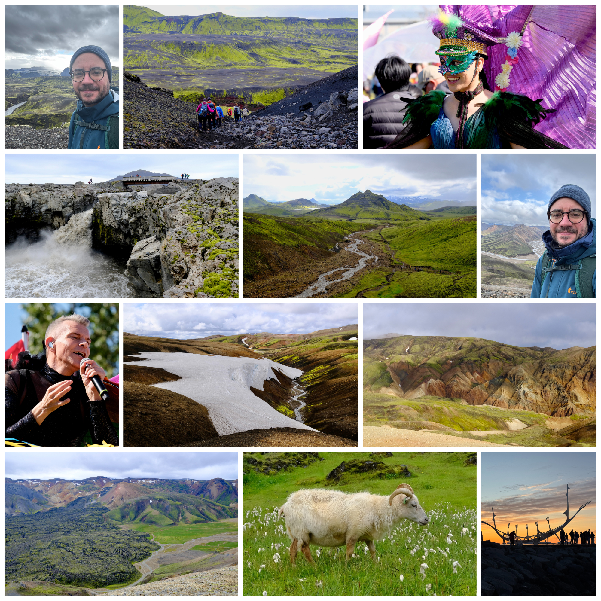
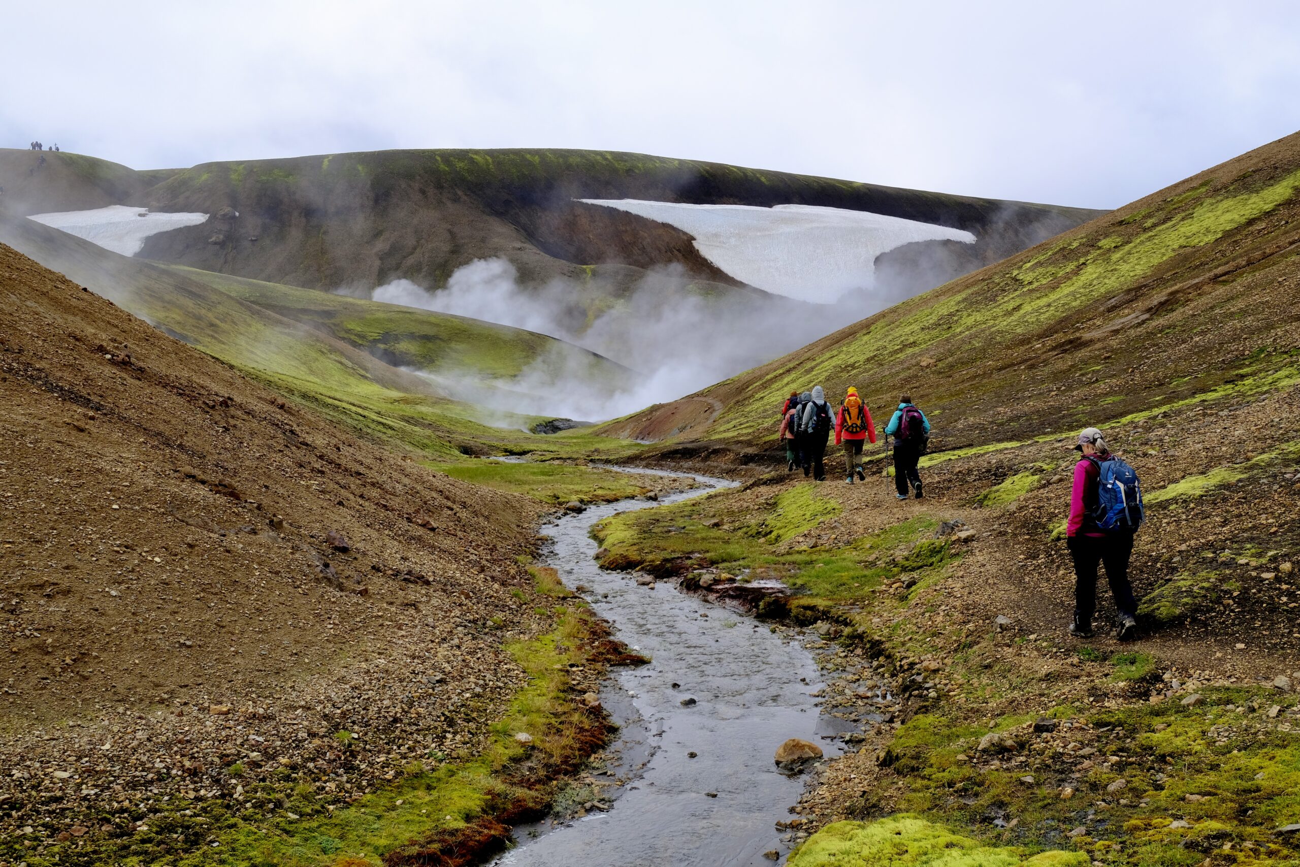
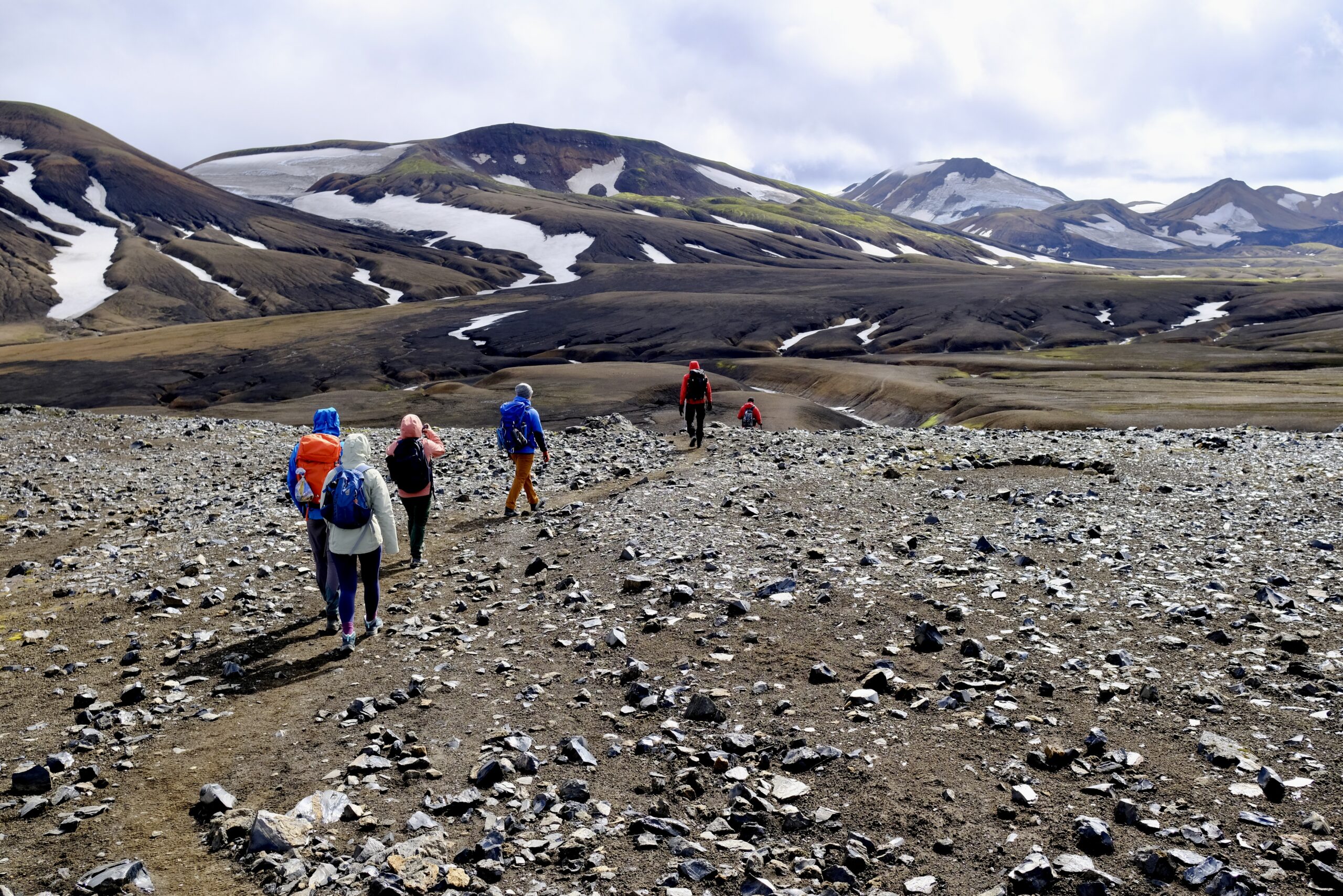
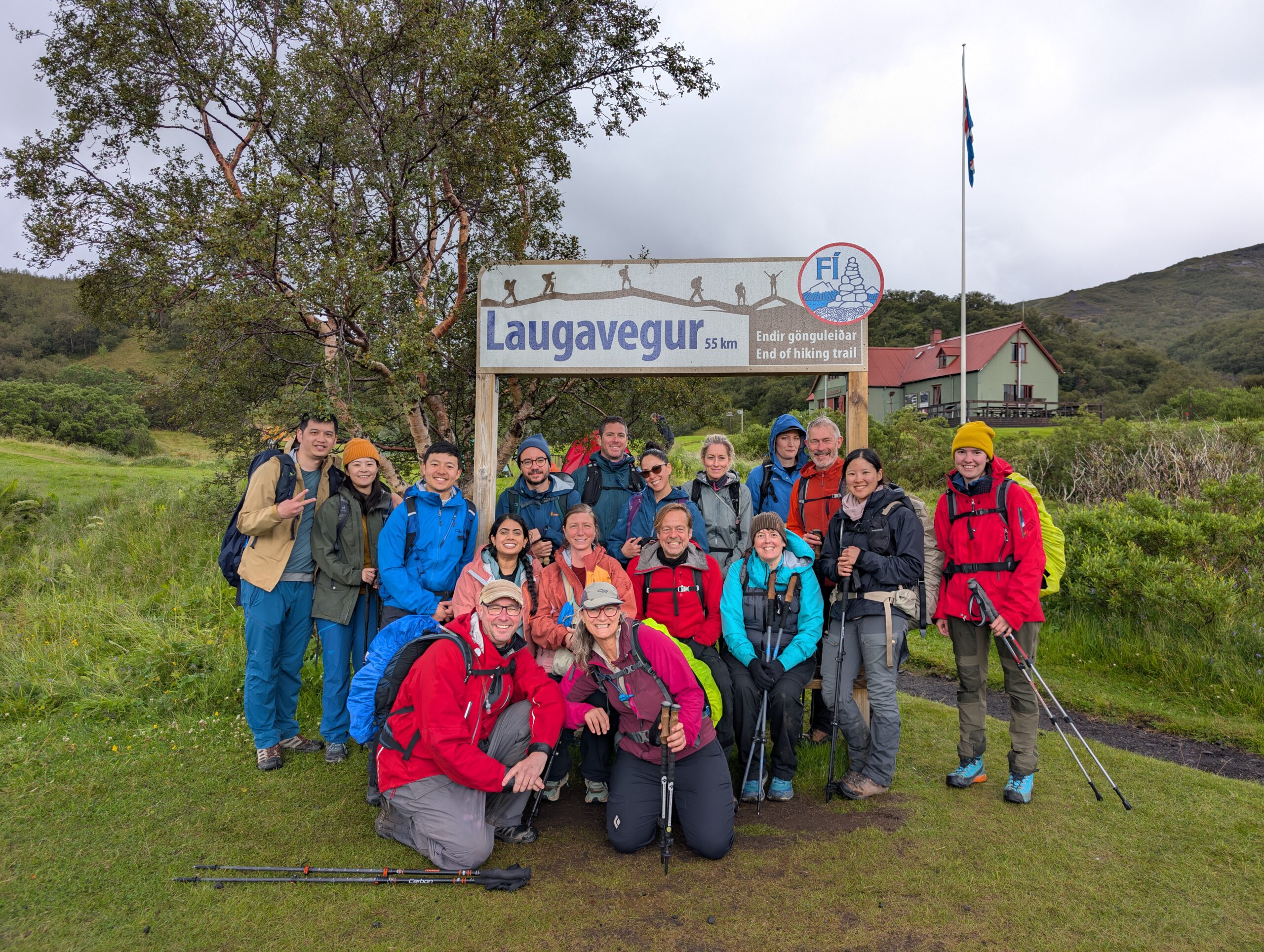
This week brought the kind of summer sun that garners local headlines about an “epic heatwave,” which in Reykjavík means 68° Fahrenheit. On Friday, I took a long walk around the city and the mood was ebullient, with Nauthólsvík beach full of sunbathers midday and most people opting to soak in the sea instead of the geothermal pool. I decided to take advantage of the favorable forecast and rented a car for the weekend, aiming to explore some relatively nearby places that I haven’t been to yet. I didn’t want to book a hotel, so I split the travel into two long day trips: heading north to Vesturland on Saturday and then driving around the “golden circle” area on Sunday.

Nauthólsvík beach

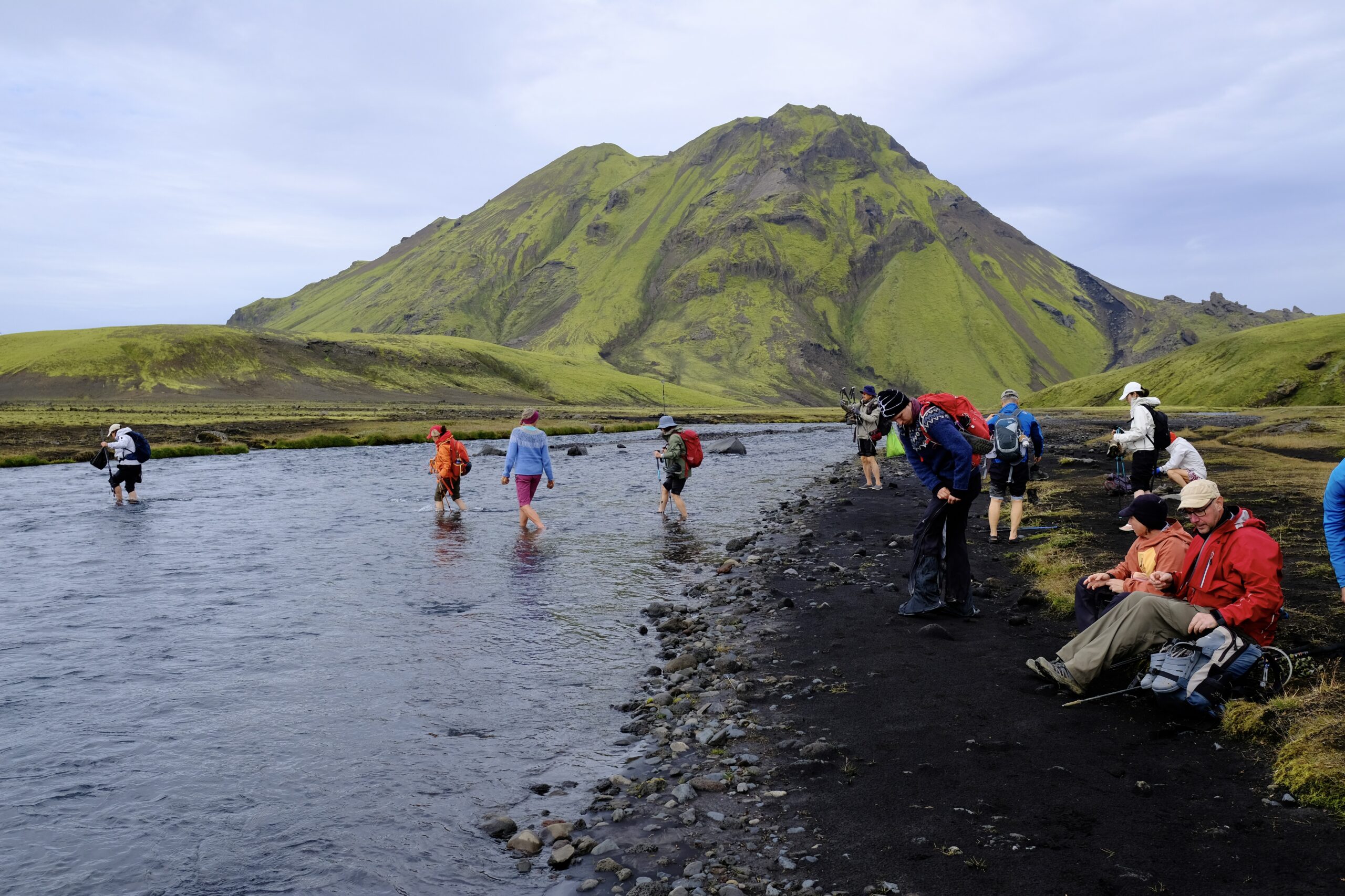
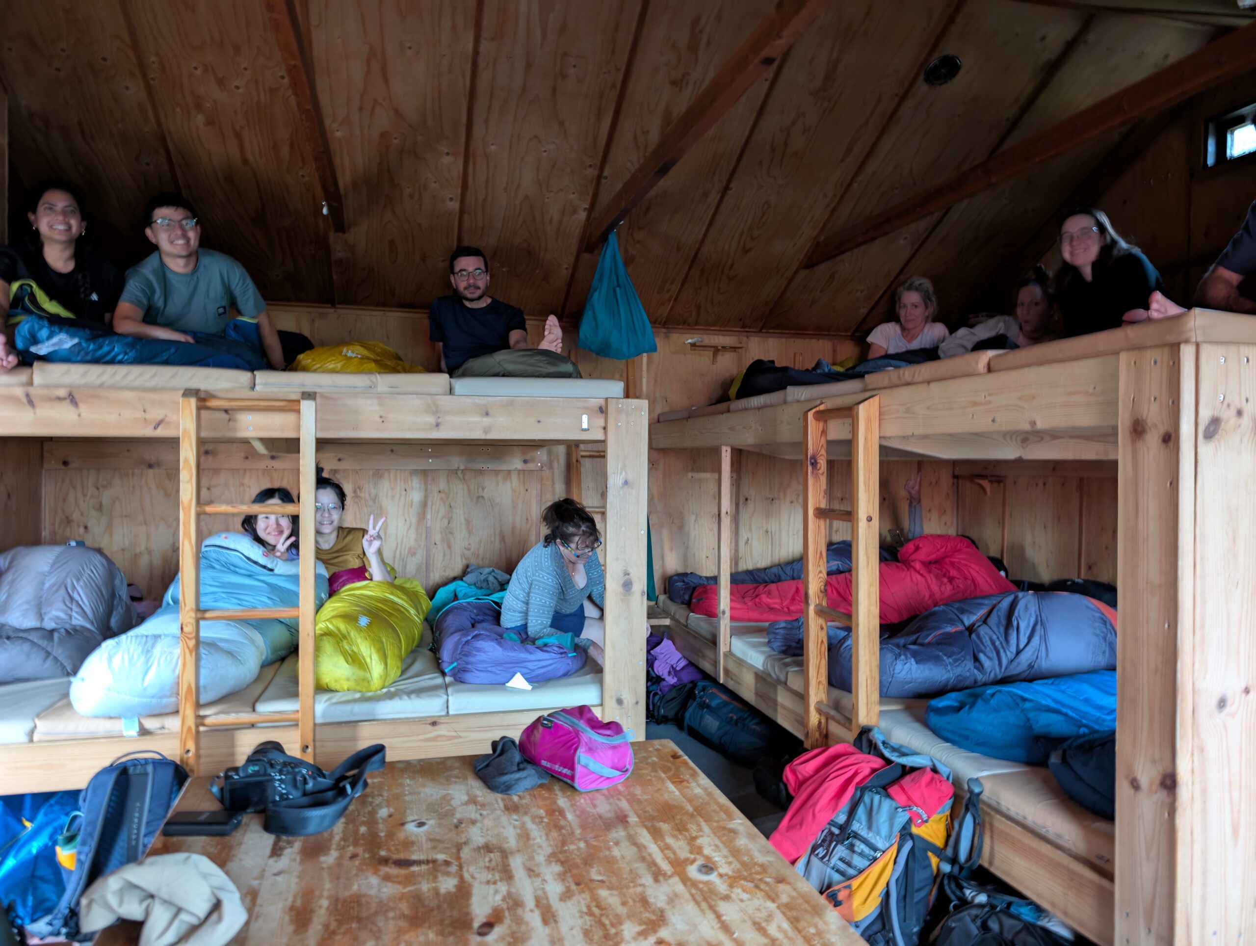
My first stop was a hike to see Glymur, the second tallest waterfall in Iceland, which is tucked into a narrow canyon at the head of Hvalfjörður. The trail is over a thousand feet of elevation gain, and rises steeply enough to be glad for rope supports along the way. You also have to cross the river twice, once by balancing on a log that is only placed seasonally, and then back again when you reach the top. The second crossing is a very cold wade through a wide stretch of river, still calm before it cascades over the edge. I’m hoping to do this hike again in a couple of weeks with a friend who will be visiting, so it was good to learn about the river crossings ahead of time. I’ll bring a towel and some extra socks next time.

A partial view of Glymur. There is no viewpoint on the trail from which you can see it in its entirety.

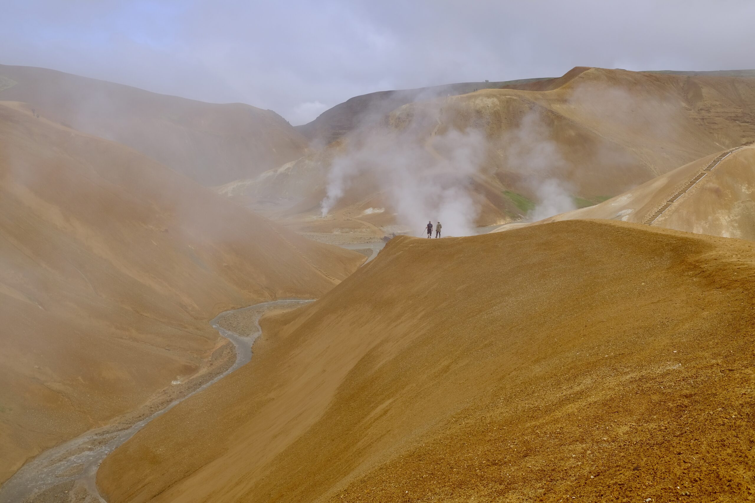
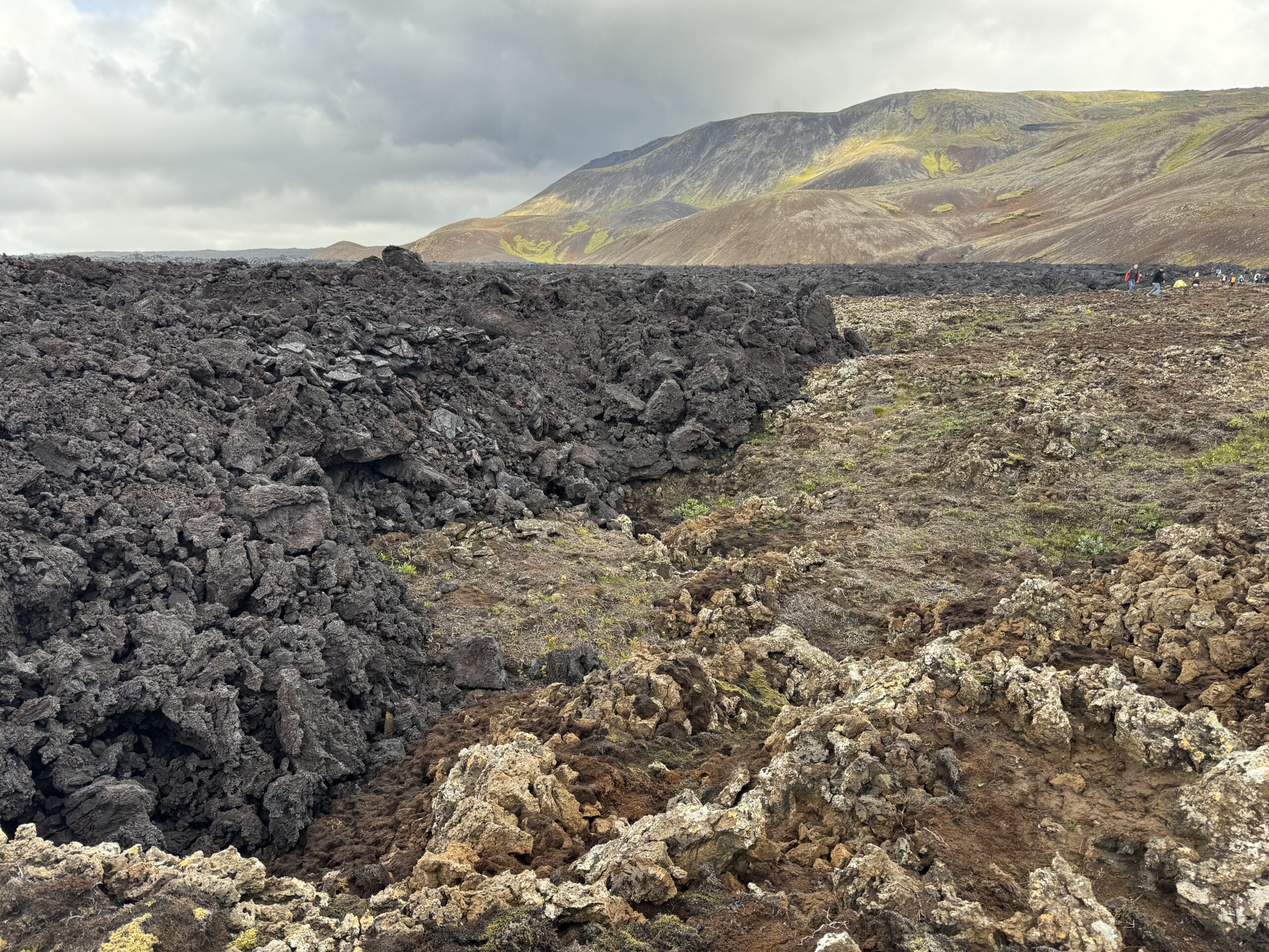
I also went to see the Grábrók Crater, which I’ve driven by numerous times but never with the right circumstances to stop. It provides an incredible view of the surrounding lava fields from the top.

From the top of Grábrók Crater

In comparison to the road trip with my parents two weeks ago, when the lupine were just beginning to sprout, they are now everywhere! These purple vertical flowers line the sides of nearly every country road, and fill whole valleys along the sea. I know that they’re an invasive species in Iceland, but they’re beautiful.

The bridge across Hvítá River in Borgarfjörður.
Lupine just south of the bridge that connects to Borgarnes.

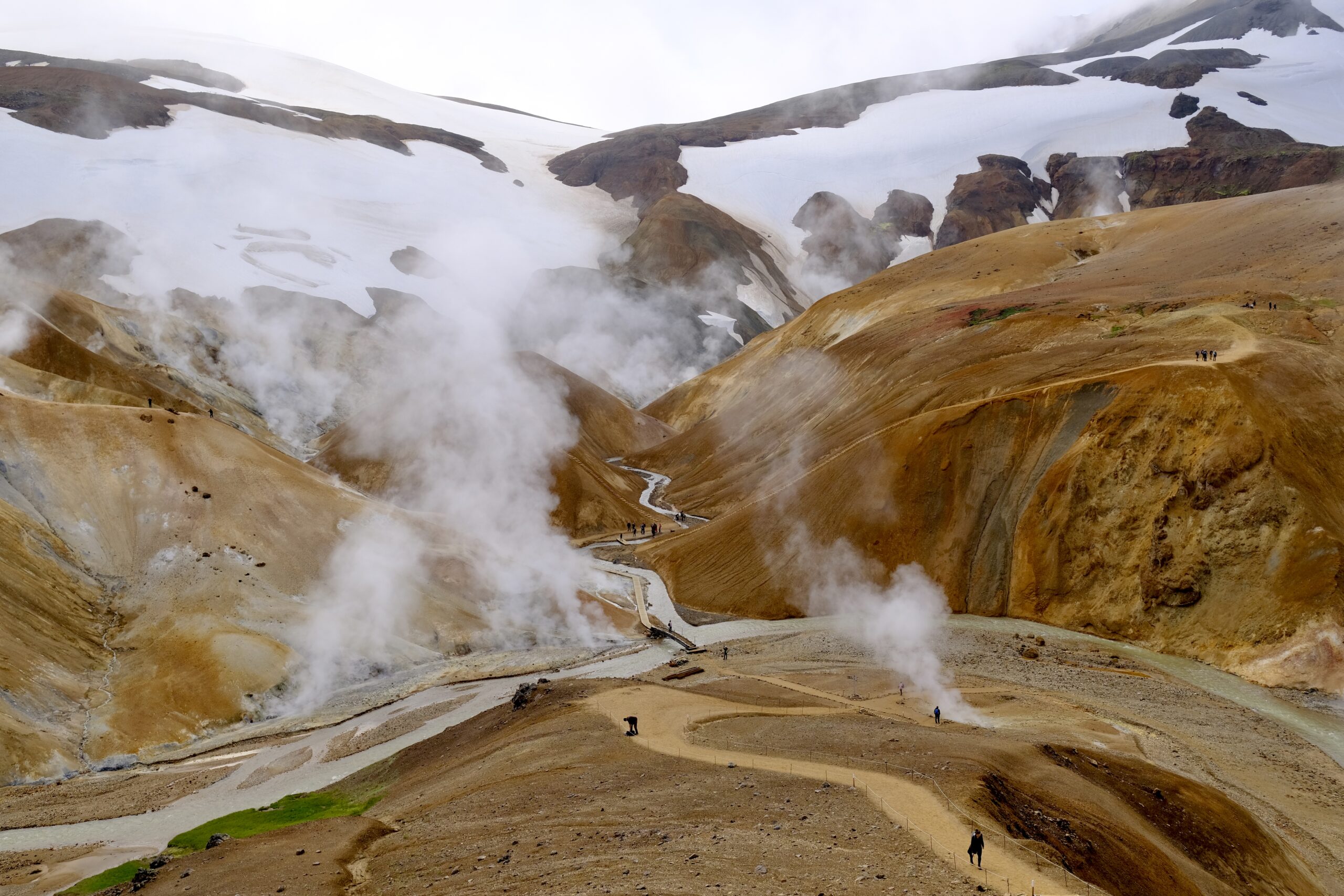
On Sunday, I headed east, looking to avoid the ring road in favor of smaller routes through areas I hadn’t seen before. Route 435 to 360 took me along the southern edge of Þingvallavatn, the massive lake that is home to Þingvellir National Park. This is a major energy-generating area, and I enjoyed seeing the steam plumes of the Nesjavellir power plant and visiting the exhibition at the Ljósafossstöð hydroelectric plant. One of the displays in the exhibition was a simple chart of energy usage in Iceland versus the rest of the world. Iceland uses 100% renewable energy, with hydropower accounting for nearly 3/4 of the pie and geothermal making up the difference, save a tiny sliver of wind power.

One thing I learned was the difference between hydropower plants like Ljósafossstöð, which can operate fairly consistently based on freshwater lakes and rivers, versus plants that capture power from the highland rivers, which have variable output depending on seasonal snow and glacial melt. Apparently that’s one area where wind power has been useful, letting them maintain higher reservoir heights in those locations if there is wind power to fill in the gaps.

Steam from the Nesjavellir power plant
Turbines at the Ljósafossstöð hydroelectric plant

Afterwards I visited Kerið Crater, which is interesting but unfortunately on the bus tour route and thus busier than I’d like. I also find their fee structure annoying. Most everywhere in Iceland there is a parking fee, since most of the sites are privately owned and the landowners need to recoup their cost of providing infrastructure for visitors. Kerið likes to advertise itself as having free parking, but that’s only because they charge an entrance fee. For me, a solo traveler, those are one and the same. But for a family that means the 700 kroner that is typical for parking is now multiplied by the number of people, which starts to feel excessive.

Perhaps the best thing about visiting Kerið was spotting something even more eye catching in the distance, a bright red spot on a mountain to the northeast. Leaving the crater, I drove towards that splash of color, winding up a dirt road towards what I could see upon closer inspection was a rock quarry. The exposed layers of earth were fantastically colorful: bright reds, yellows, and tans. A sole worker in the pit was filling a truck with volcanic debris, his yellow loader dwarfed by the size of the quarry walls.

While driving up to the quarry I saw some people in high-visibility vests in the hills, and assumed they were just walking their dogs. But when I reached the top there were numerous search and rescue vehicles, and I realized that this was a training exercise for rescue dogs. I talked with one of the trainers for a while, who told me about the different classifications the dogs can achieve, such as avalanche or water rescue certifications. They were taking advantage of the unusually warm weather to see how the dogs performed in those conditions. It was basically hide-and-seek, where the trainers would run off to lay in a valley on the other side of the hill and the dogs were given items of theirs to smell and go track them down.

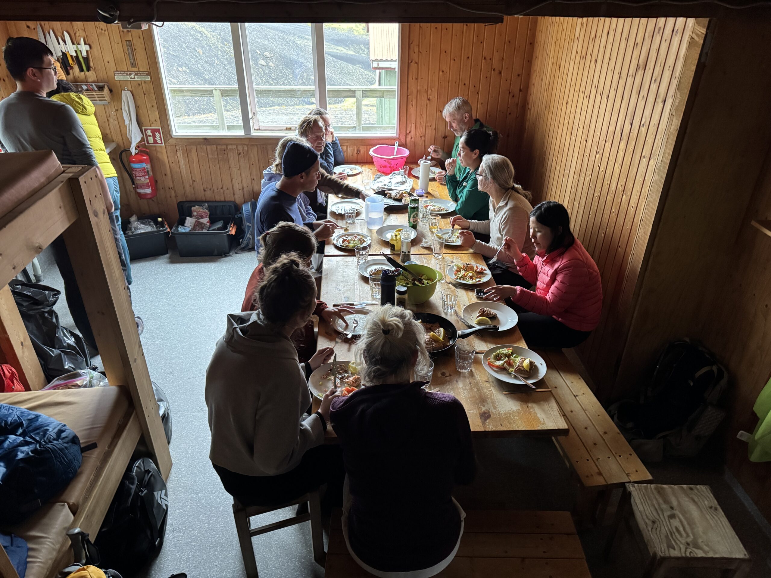
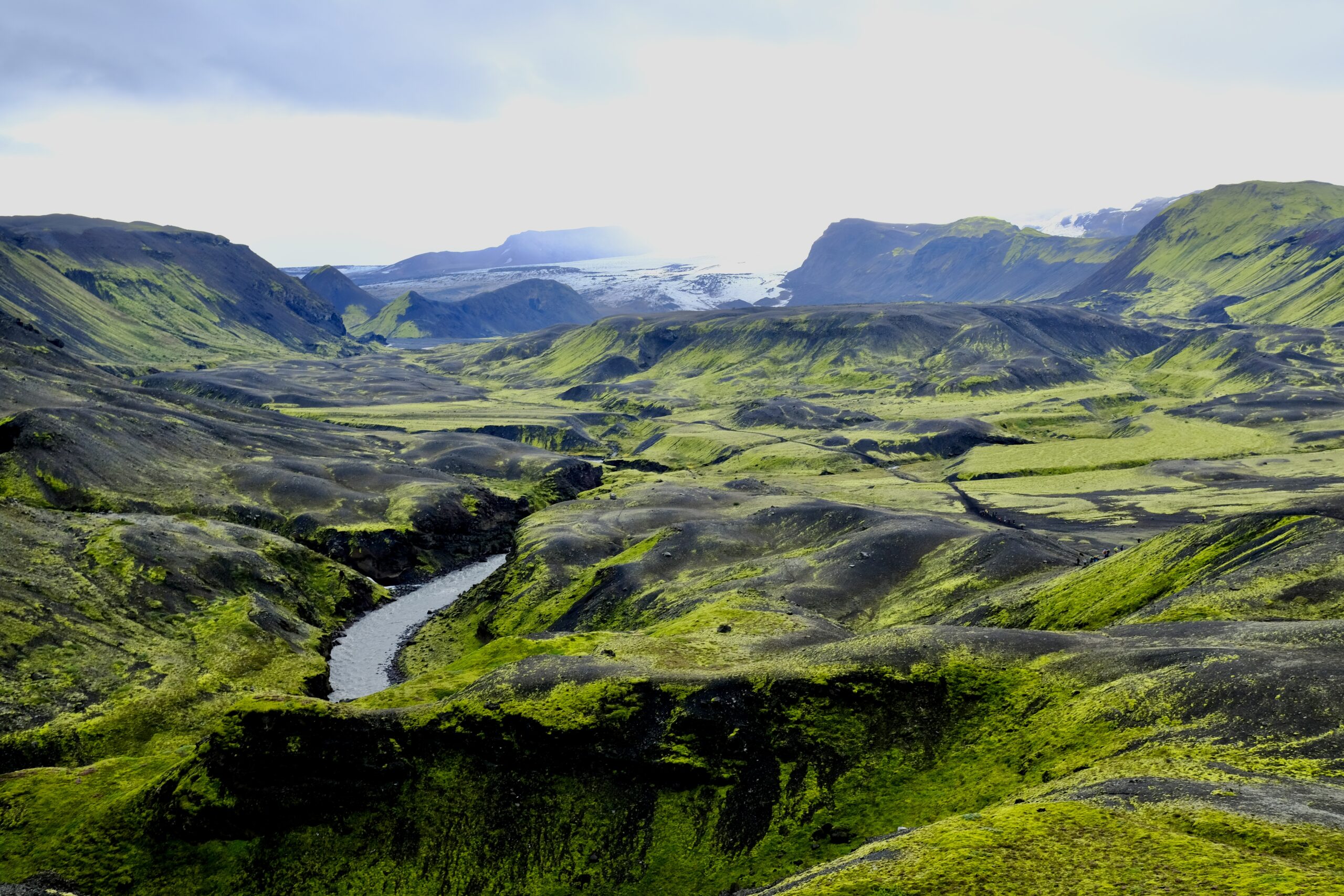
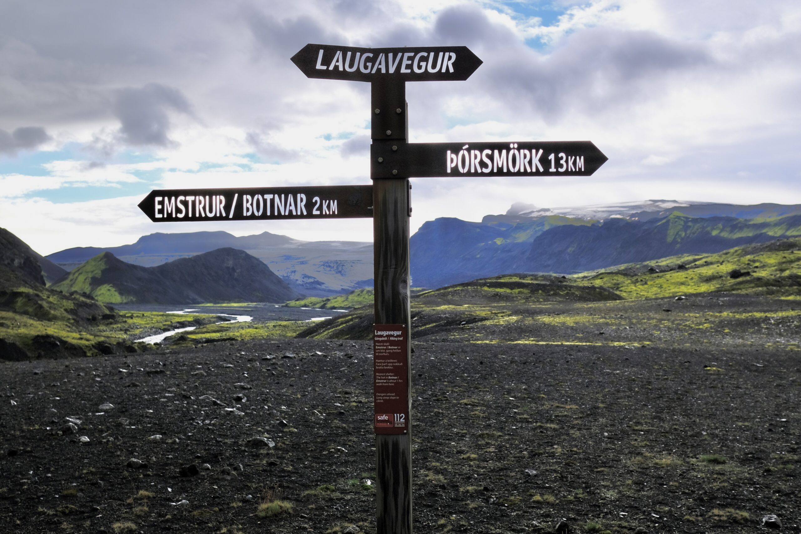
The rest of the day was meandering. I stopped by the Friðheimar greenhouses to try their famous tomato soup. I’ll never pass up a chance to see Gullfoss, and was surprised to see that the top viewing area now extends further than I remember. I also went to Brúarfoss, which I had never seen before, and was blown away by the uncanny bright blue water. On the way back I stopped to see Þórufoss, which is one of those waterfalls that reminds you how incredible Iceland is because if it were anywhere else, it would be the main attraction, but here it’s a lesser-known spot with barely a sign to indicate its presence (although it was a Game of Thrones filming location).

Friðheimar greenhouses
Always amazed that Gullfoss can have this amount of water flowing over it in perpetuity.
Brúarfoss
Þórufoss

Iceland: Weeks 21 + 22

This is my first Iceland post that needed to span multiple weeks. In the previous fortnight I wrapped up everything for my first semester at the University of Iceland and my brother visited for five days. It was really fun to have him here, his first time in Iceland, and despite the very minimal amount of sunlight (~3.5 hours per day) we had a great time exploring the Reykjanes Peninsula and south coast.

When I met Isaiah at the airport, at a little past 7am, we still had at least 3 hours before the sun would start peeking above the horizon, so we caught up in a cafe before heading out. Iceland immediately showed off its weather diversity as we drove from drizzly Keflavík through the snow-covered lava fields of Reykjanes. The first stop was more of a conceptual one, but established the mind-blowing geological newness that is Iceland: a bridge between continents that connects the Eurasian and North American tectonic plates. The country is basically split in two by these plates, the source of volcanic activity that led to the creation of Iceland 20 million years ago and all the continued eruptions today.

Bridge between the Eurasian and North American tectonic plates

Near there is Gunnuhver, a geothermal area, where the mixture of snow, steam, and sunrise seemed like a fitting introduction to Iceland.

Gunnuhver geothermal area
Isaiah at the Gunnuhver geothermal area
A graveyard along the Reykjanes southern coast. During Christmas cemeteries in Iceland are lit up like this.

This time of year the sun never really stops rising or setting, but by the time we arrived in Grindavík it was light enough to see the impact of the nine dramatic eruptions that caused the town’s 3,700 residents to flee in 2023. The town is surrounded by newly constructed lava barriers, and in the city center there’s a fissure that cracked and shifted the street by a meter or more. New roads have been cut through the lava, and there are signs of rebuilding, but most residents haven’t yet moved back.

A new road cut through the lava field, seen from the top of a lava barrier.
Isaiah on a lava field from the 2023 eruptions.

Our next stop was Hveragerði, where we hiked into the mountains to the Reykjadalur thermal river. The sun had already started to set when we started around 2:30pm, so we packed headlamps for the walk back. That was smart, but it would have been even smarter for us to not leave our crampons in the car. The ~5 mile round-trip hike was icier than we anticipated, but beautiful, and soaking in the hot springs surrounded by snow covered mountains felt amazing.

The view over the geothermal valley
Reykjadalur hike
Reykjadalur hot springs area. This is the main site for soaking, with a boardwalk and minimal changing zones.

We stayed in Reykjavík that first night, and the next morning made headway down the south coast before sunrise so we could maximize the minimal daylight. The weather was cooperative throughout the trip, with very little rain or snow. The temperature was moderate, mostly just above freezing, but the wind got up to 40 mph. At times, it felt like pushing on a heavy door just to walk forward and twice it literally knocked me to my knees.

The south coast did not disappoint, and it’s truly the biggest payoff for a limited amount of time in Iceland. It’s amazing how many things are just off the ring road, and while these accessible sites are busy with tourists, even in winter, it wasn’t overwhelming. We went to Seljalandsfoss, Skógafoss, Sólheimajökull, and Reynisfjara before running out of daylight in Vík, and continuing the drive to our hotel in Hof.

For this first day, I have photosets on Instagram of horses, Sólheimajökull, and Reynisfjara.

A herd of Icelandic horses congregated along the road and were happy to see us. I love how they are so genetically specific and yet each one has such a distinctive look.
The Eyjafjallajökull icecap, underneath is the volcano that erupted in 2010 and caused 20 countries to close their airspace.
Obligatory waterfall selfie. Unfortunately, this time of year they don’t let you go behind Seljalandsfoss due to icy conditions.
Sólheimajökull glacier, which I went ice climbing on just a month previous. It was fun to come back so soon and see the changes in the icebergs and lagoon.
I brought my other camera lens (50–200mm) along for this trip to Sólheimajökull, which let me capture slightly different views of the glacier than when I was there previously with only my 23mm.
This ice arch is an example of something that I didn’t see last month, and it probably won’t be there a month from now.
Very rough seas and intense wind at Reynisfjara, the black sand beach.
Basalt pillars on the Hálsanefshellir cave.
Black sand beach with Dyrhólaey in the distance.

At sunrise the next morning we went to the Jökulsárlón glacier lagoon and Diamond Beach, where icebergs calve off the glacier and float out to the sea, washing up on the black sand. It’s a stunning place, with bright blue ice that feels surreal amid the immensity of the Vatnajökull ice gap. I have a photoset on Instagram with more images.

An iceberg just off shore that hadn’t been washed onto the beach yet. I saw a photo someone took two days after this that looked like it had broken in two, with a large piece on the sand.
Ice chunk on Diamond Beach in pre-dawn light.
Jökulsárlón glacier lagoon

Perhaps the most unexpected experience was going to the Fjallsárlón glacier lagoon and realizing it was frozen solid. The Jökulsárlón lagoon doesn’t freeze in winter, because it mixes with salt water from the ocean, so after cresting the hill that reveals Fjallsárlón it was almost hard to process what we were seeing: massive icebergs, frozen in place, with people walking amongst them.

It’s pretty amazing that in a short two-day trip we were able to visit three different outlet glaciers. Whether it’s winter or not, my top tip for the south coast of Iceland is to not miss Fjallsárlón, if you are going all the way to Jökulsárlón. It’s only 15 minutes west and an equally wonderful experience. I also have a separate photoset of Fjallsárlón on Instagram.

A frozen glacier lagoon at Fjallsárlón
The Fjallsárlón glacier
A blue-ice arch in and iceberg at the Fjallsárlón glacier lagoon

The final stop on our south coast tour was Fjaðrárgljúfur canyon, where a winding river has cut a scenic path. I somewhat sheepishly realized that I first learned about this place because it’s the splash screen on my banking app, which feels like finding out about national parks from MacOS wallpaper. But it’s a beautiful spot, and definitely worth the hour or so if you have the time (and daylight) to spare.

Fjaðrárgljúfur canyon

I have lots more photos, but this post is already very long. Overall, it was great to have Isaiah visit and nice to see spots on the south coast that I hadn’t yet visited during this time in Iceland. I went as far east as I’ve ever been, but no further. This Spring I’m hoping to break that barrier and make it all the way to the Eastfjords.

Outside of our roadtrip we walked around Reykjavík, which made me realize just how small it is. By day two of exploring the city we had gone to 80% of the areas I frequent, ate well, and avoided spending too much time in my tiny studio apartment. It’s always interesting to wander around a city with Isaiah because as an architect he sees things in the built environment that I don’t. We have similar but different designer afflictions: I spot the bad kerning on signs, he notices when courtyards don’t align. But he also looks up who designed the buildings, so now I realize that every day I walk by three or four buildings by Guðjón Samúelsson.


I’ll be traveling to the U.S. for the holidays, my first time leaving Iceland since I arrived in mid-July. I realized this week that my time here matches my longest living out of the country; I was in India during 2011 for the exact same time period. I’ll be in the States for three weeks, returning just before the next semester starts on January 12th. I’m probably going to take a break from writing here during that time. Happy new year to everyone that’s been reading this blog. I appreciate hearing from you, thank you for following along.

Noted & Done

  • Iceland will not take part in next year’s Eurovision, in protest of Israel’s participation.
  • UNESCO has added Icelandic swimming pool culture to its list of intangible cultural heritage of humanity.
  • Icelandic sculptor Steinunn Thórarinsdóttir did a talk at Scandinavia House in NYC last month and the video is now online.
  • Finished Shetland season 10, which was very much like every other season but that’s fine with me. I watch it as much for the landscapes as I do for the plot.
  • Finished my two research papers and will heartily recommend Zotero for managing sources, notes, and most of all footnotes. I honestly don’t know how I would have managed my footnotes and bibliography formatting without this tool. One of those pieces of software that you immediately can not imagine living without.

Iceland: Week 4

More than half of last week was spent outside, hiking in the Highlands between Landmannalaugar and Thórsmörk on the Laugavegur trail. I’ve had my eye on this trek for a long time, and it lived up to all my expectations. I went with a guided group, 16 of us in total, and hiked 40 miles over 4 days, traversing 6,000 feet of elevation gain across wildly different landscapes. It was often cold, windy, and rainy, but with fabulous views, otherworldly scenes, and a chance to have my morning coffee at the foot of a glacier — an excellent mix of Type 1 and Type 2 fun.

Going with a group has distinct benefits, particularly as a solo traveler. For one, I had someone to talk to, and our guide turned out to be wonderfully low-key and happy to answer all my questions. It also meant that I only had to carry a daypack, as the company transported our other bags as well as food. We stayed in mountain huts, originally constructed in the 1970s by a hiking club, which are simple structures filled to the brim with sleeping mats and a kitchen. Lots of people stay in tents as well, and there are shared bathroom facilities for everyone. For 1,000 ISK you can buy 5 minutes of hot shower time. Overall, accommodations are basic, but having tubs of food for our group transported by vehicle meant meals could be a couple notches above backpacker food.

I have photosets on Instagram for each day (Day 1, Day 2, Day 3, Day 4), so I won’t overdo it on the photos here, but below is a brief daily overview.

Day One: Landmannalaugar

Landscapes at Landmannalaugar
Leaving the lava field at Landmannalaugar, approaching the hut and campground

The trip to Landmannalaugar from Reykjavík took about 3.5 hours, which would make it possible to do as a very long day-trip. We didn’t actually start on the Laugavegur Trail this first day, but did a four-hour hike through the colorful landscapes and lava fields of the area. It was the windiest of all the days, and threatened to downpour as it had the the day before. But the rain remained scattered, with patches of blue sky, and it was a great introduction to the trip.

We stayed in the hut in the center of the above photo, the only one on the trip with hot water on tap since this was a geothermal area. A hot spring runs in front of the hut, feeding a pool a short distance away, which felt amazing to soak in after the hike. It was my first natural hot spring in Iceland and it was fun to see how you could moderate the temperature by positioning yourself within the pool. As you moved closer to the river it got uncomfortably hot, but you could also get extra heat by digging your feet or hands into the pebble-covered ground.

A very Icelandic scene: sheep grazing with people bathing in a hot spring in the distance.

Day Two: Landmannalaugar to Álftavatn

The second day was the longest, at 15 miles, and was technically two segments of the trail as we passed by the Hrafntinnusker hut halfway through. It also had the most elevation. The day started with steamy geothermal landscapes, including steam vents and mud pots, giving way to rockier and snow-covered terrain as we passed over a mountain pass. The trail only opens in mid-June, because the snow pack is too deep before then. We were continuously going up and down, as the trail runs through numerous valleys, although some were still filled with snow that bridged across them. You have to be careful as you cross those because the snow melts from both the top (sun) and bottom (hot springs), potentially obscuring the true depth of the snow you’re walking across.

Steamy hot springs provided an otherworldly feel throughout the day.
The landscape became rockier and snowier mid-day.

The hut at Álftavatn was the best of the trip with more spacious quarters and a generously sized kitchen, beautifully situated on the edge of a lake. The multi-hour steep downhill trek to the campground wrecked havoc on our feet, but just before arrival we had our first river crossing and the freezing cold water helped to sooth the swelling. There were four river crossings in total on this hike, and I carried an extra pair of water shoes for them. They were bone chillingly cold, but a fun part of the experience as I’d never done it before.

The hut at Álftavatn.
Camping area at Álftavatn, next to the lake.

Day Three: Álftavatn to Emstrur (Botnar)

The third day saw a dramatic shift in scenery, away from the colorful geothermal hills to a stark black and green landscape. It was rockier, and much flatter than previous days. There was another river crossing less than an hour into the hike, and I think there is where I made the mistake of not fully cleaning all the tiny rocks out from between my toes after the crossing. By the end of the day I’d discovered that the smallest toe on my right foot was lacerated where it joined my foot; I think a small stone had abraded it all day as a walked. It wasn’t terrible, and better than getting a blister, but made the final day of hiking a bit uncomfortable.

River crossing
Much of the day was starkly black and green. There’s no life up there, no birds or sheep.

The siting of our final huts at Emstrur/Botnar was beautiful, situated in a valley next to a glacier, but they were also the most cramped. It was raining steadily when we arrived, which means the 21 people staying in tiny hut #2 were all huddled inside trying to dry off.

The Emstrur/Botnar huts.
Glacial view from the hut.
Packed sleeping quarters.
We had to eat in shifts in this tiny hut because there wasn’t quite enough room around the tables.

Day Four: Emstrur (Botnar) to Þórsmörk

On the final day, the trail ended at Thórsmörk, one of the only native forests in Iceland. You could observe life returning as the day progressed, with a few birds flying over canyons and ewes leading their lambs around the hills. During this segment we travelled between the Mýrdalsjökull and Eyjafjallajökull glaciers, ending in a flood plain with clear views of both. Between the biggest river crossing, feeling a bit weary, and my slightly wounded foot, I ended up relying on my hiking poles more during this segment. I used them periodically throughout the trail when I felt the need for additional stability, like going down a steep and muddy decent, but there was always a tradeoff between holding my poles or my camera.

Valley with Mýrdalsjökull galcier in the background.
These signs were found throughout the trail. Punching the letters out of metal is smart, as I doubt that a painted sign would last very long in this environment.
My group at the end of the Laugavegur trail. We were a mix of people from the USA, Canada, Switzerland, Taiwan, and Norway.

We didn’t stay in the hut at Thórsmörk, although they did let us relax there while waiting for the bus to arrive. There are additional trails in that area that looks great, and three huts in total. Most of the people doing the full hike were foreigners, but I was told that Thórsmörk is a place that native Icelanders regularly come to recreate. I might try to make my way back here, for a day trip or a night in a hut. But the season for the Highlands is very short: basically mid-June to mid-September.


Getting back from the hike I laid low for a couple of days, catching up on sleep, laundry, and email. But I was able to register for my classes, and getting the syllabus’ and schedule provides me with a sense of the structure that I’ll have starting August 18th. I’ll share more as things get going.


The weather in Reykjavík had been dreary all week, but yesterday in it was nearly perfect for the Pride Parade. Clear blue skies, upper 50s, and a massive celebration of diversity and equality. Perhaps the biggest difference about Pride in Iceland versus the US right now is the fact that the Prime Minister attended and spoke at the celebration.

Noted & Done

  • I’m noticing that the light is starting to change. When I moved here last month it felt like daylight when I went to bed, now it feels like dusk and I’m awake to see an actual sunset.
  • A Highland bus from TREX is bookable for a self-planned trip to Þórsmörk or Landmannalaugar. They aren’t cheap at ~$228 round-trip, but the alternative is to rent a car that can drive through deep rivers. Apparently these buses can handle up to 2 meters of water.
  • Registered for my classes at the University of Iceland.
  • Checked out Góði hirðirinn, a second-hand shop, and got some fun and random things for my apartment.
  • Went to an event billed as a SuperCollider Session at Mengi, which showcased students from the Iceland University of the Arts playing pieces they developed through a music programming course.
  • Finished reading the book The Second Mountain: The Quest for a Moral Life by David Brooks.

Iceland: Week 2

My first week in Iceland had a lot of necessary logistics and administrative tasks, getting settled in my apartment and wrapping my head around living in a new country. But in my second week I was able to start exploring, not just around Reykjavík but more broadly into the countryside and Highlands.

The week began with my mind back in the USA since Emoji had a vet appointment to clean his teeth and extract at least one. My little guy is an old man by dog standards, and because of his heart condition it always makes me nervous when he has to go under anesthesia. The procedure went okay, but when they got a better look during surgery they discovered that many additional teeth needed removal — they extracted 14! Apparently dogs have ~42 total, but given that he’s lost 10 in the past that means he’s down to less than half. He’s doing okay, but every dog owner on the streets of Reykjavík can attest to me missing him as I stop for lengthy conversations with their pups.

My city explorations this week were long exploratory walks, reaching beyond the tourist streets to find myself on industrial corridors and inside abandoned WW2 bunkers. I’ve always liked to see a city this way, through the alleys and backyards. I hiked around Öskjuhlíð, a forested area near the Perlan Museum, walked along the southern coastline penned in by the domestic airport, and stumbled upon unexpected finds like the clubhouse of the Icelandic Radio Amateurs (ÍRA). I hugged the edges of the harbor through the Grandi District, stumbling onto gems like the The Living Art Museum hidden among the fishing trawlers and shopping centers.

But more importantly, I got outside the city. Classes for my graduate program don’t start until August 18, so my goal is to take advantage of my flexible schedule before then to see some parts of Iceland that I’ve never visited before.

On Wednesday I went to the Hveradalir geothermal area in Kerlingarfjöll, a mountain range in the Highlands between the Langjökull and Hofsjökull glaciers. It’s an stunning place, where boiling waters create steam that billows through the muddy hills, mixing with fog to continually obscure and reveal the mix of greens, browns, reds, and snow white of the landscape. I was in Yellowstone earlier this summer, which felt like a geothermal opener to this main act. The hills were steep and muddy, and the slow ascent and decent of other hikers provided a useful sense of scale when looking out over the vast landscape. This was my first time in the Highlands, and I loved it. The road there was as rough as I’d been warned about, probably the worst I’ve experienced outside of Costa Rica, but landscapes were otherworldly.

The view as you enter into the Hveradalir geothermal area in Kerlingarfjöll.
Most of the hiking paths are along these ridges, which are reinforced with wooden planks on the steepest parts, but given the mud I should have brought my hiking poles for stability.
This view came just after descending a portion that was completely fogged in, with maybe 15ft visibility. The weather varied a lot over the hours that I was there.
Snow lingers through late July. Our guide showed me a photo from earlier in the Spring where his van was driving through recently plowed snow that formed a tunnel as tall as his vehicle.

I also went to see the volcanic eruption happening on the Reykjanes Peninsula. Last week the Sundhnúksgígar fissure had its 9th eruption and while it had calmed down a lot there was still a chance of seeing flowing lava. So on Saturday I joined a group heading down the peninsula, and hiked in to a newly established viewing area roughly a mile from the most active crater. There was a hill at the site, completely surrounded by recently cooled lava flows. I couldn’t miss the opportunity to walk across that field to see newly created lava spouting from the closest and highest viewpoint, although now I see that there is official guidance against doing that. 😬

It rained sporadically, which hissed and turned to steam as it filtered through the cooled and blackened crust of the lava’s exterior and hit the molten core. In the shortened distance from the top of the hill I could see with my naked eyes the magma spewing violently from the crater and a river of lava flowing down directly into the field between us. It’s honestly quite humbling to witness the power of the earth like this, a fact that was reinforced on the drive back as we saw where flows from previous eruptions had encroached on the town of Grindavík and destroyed roads and pipelines in the area around the Blue Lagoon.

A closeup video of the eruption, shot through my 50-200mm Fuji lens. Good for capturing, but my binoculars provided the best view.
The lava field from the recent eruption, with the hill I climbed up for a better view.
The edge of the lava flow, which I was told advanced about 20 meters since the day before. If you peered in closely in certain spots you could see the red hot lava underneath. Near the edges it also smelled of burning, likely from the moss it was consuming as it advanced.

Noted & Done

  • Got my pool card, which I can use at any pool in the city of Reykjavík.
  • Saw Victor Shepardson at Nordic House.
  • Saw Tonik Ensemble at Nordic House.
  • Saw Skúli Sverrisson & Óskar Guðjónsson at Mengi.
  • Figured out the laundry situation in my apartment building.
  • Waited to hear back from the Directorate of Immigration about my residency card (I was supposed to get it this week).
  • Finished reading Your Absence Is Darkness, a novel by Jón Kalman Stefánsson. It’s the third book I’ve read by him, and like much of Icelandic literature and movies it’s both beautiful and tragic.
  • Visited the Gullfoss waterfall on the way to the Highlands.
  • Visited the Seltún Geothermal Area on the way to see the volcanic eruption. A very interesting, if short, trail through bubbling pools and steamy ground. Similar in scope to some areas I saw in Yellowstone.