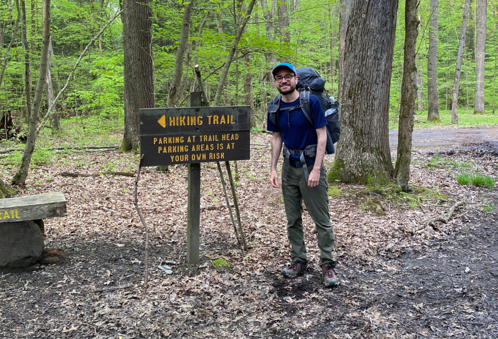
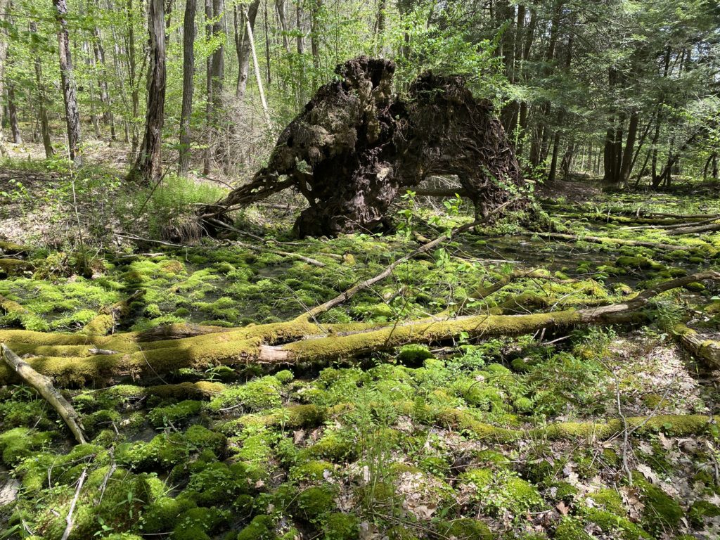
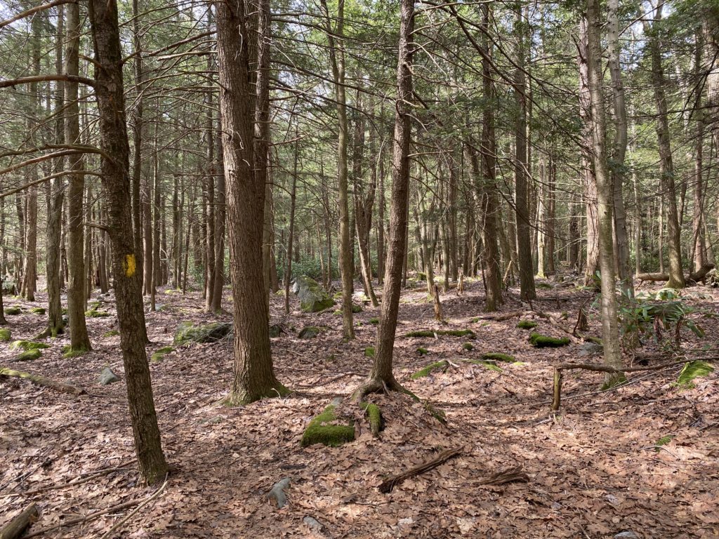
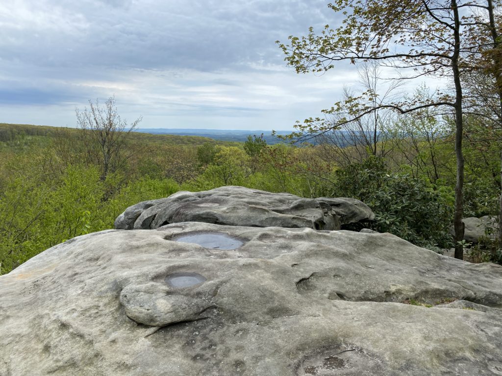
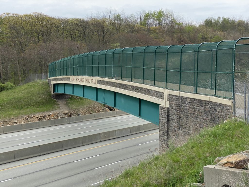
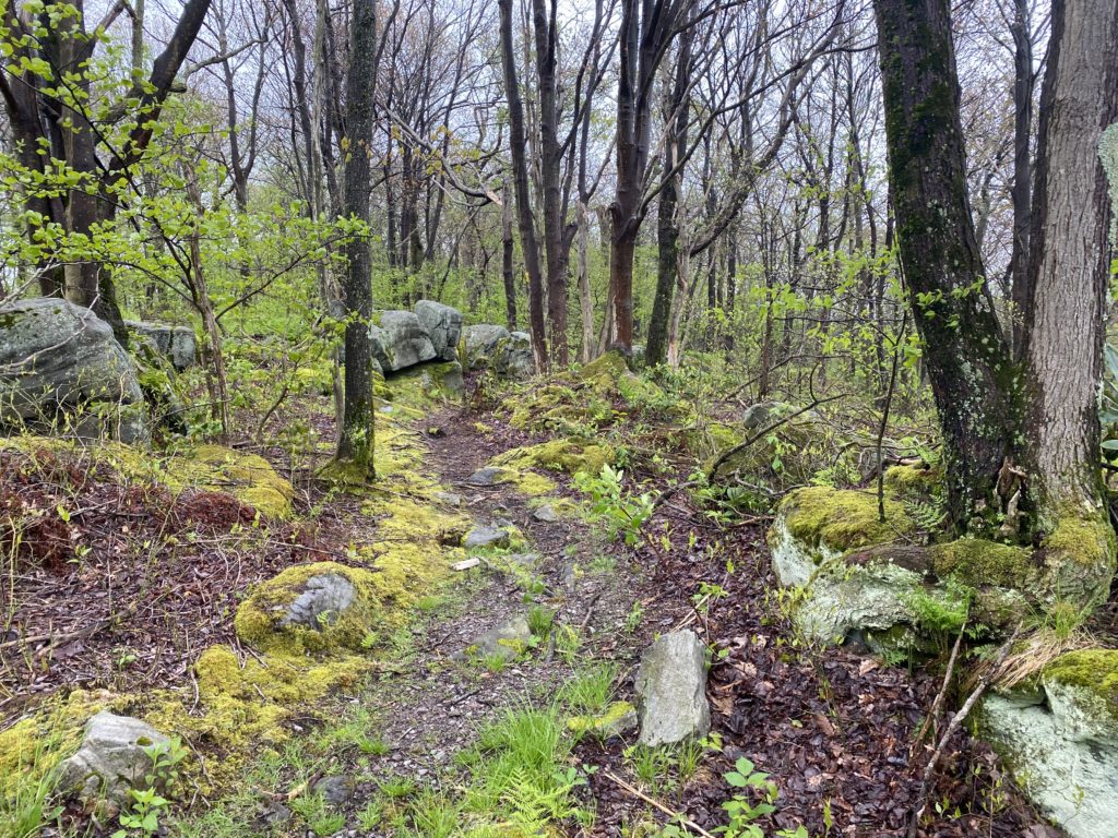
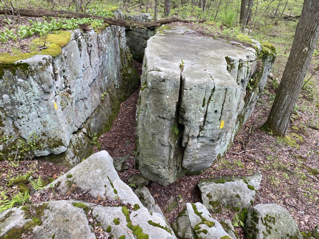
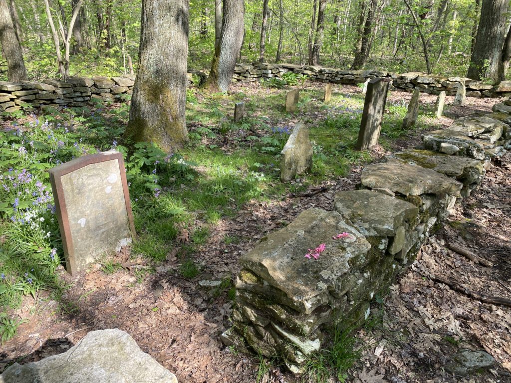
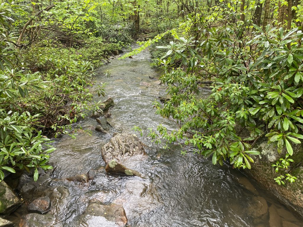
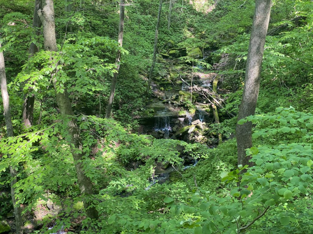
Over the last few years I’d had my eyes opened to the wealth of public lands in Western Pennsylvania, and enjoyed discovering all the various hiking trails. One of my favorites is the Laurel Highlands Hiking Trail, a 70-mile route from Seward to Ohiopyle that winds through State Parks, State Forests, and State Game Lands. The diverse landscapes it connects include imposing rock outcroppings, tangled rhododendron tunnels, and quiet fern-filled forests. When I started a sabbatical a few months ago there were a lot of things I needed a break from — to stop doing — but one of the few concrete goals I had was to complete a thru-hike of the Laurel Highlands.
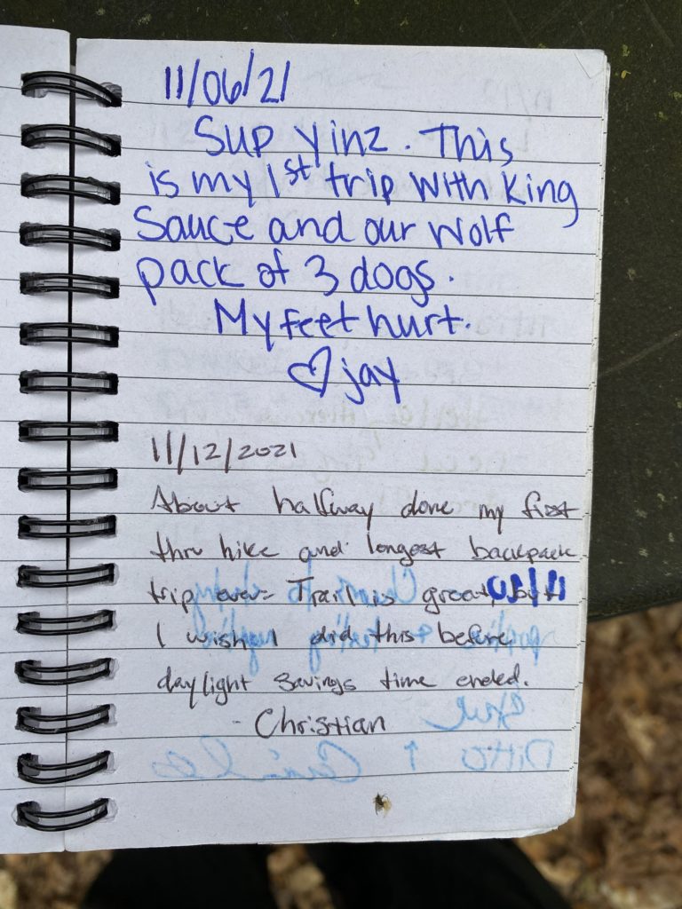
I’d never done any overnight backpacking, so this trip required a bit of planning, learning, and training to pull off. But last week I successfully completed the 70-mile hike, and really enjoyed myself! Below are some day-by-day notes for my own documentation that might hopefully help others who are interested in planning a similar trip.
The Route
The Laurel Highlands Hiking Trail map has been hanging on my office whiteboard for over a year, where I mark off the sections that Molly and I have completed together. These are 6–8 mile out-and-back hikes, so while we’ve seen a lot of the trail it’s been fairly slow going, and difficult to fill in some of the more remote gaps.
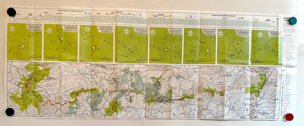
The trail runs from Ohiopyle, PA (mile 0) to Seward, PA (mile 70) and I hiked it in reverse because the segments worked out a bit better for me and it seemed more celebratory to end in a bustling small town full of outfitters and restaurants, rather than a quiet parking lot.
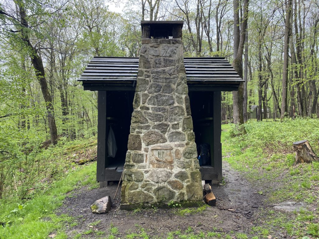
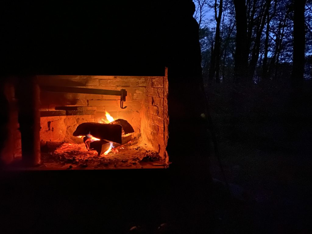
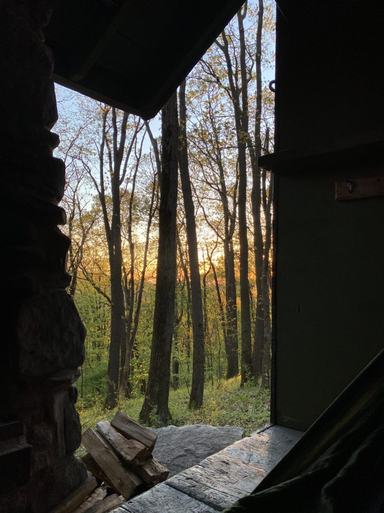
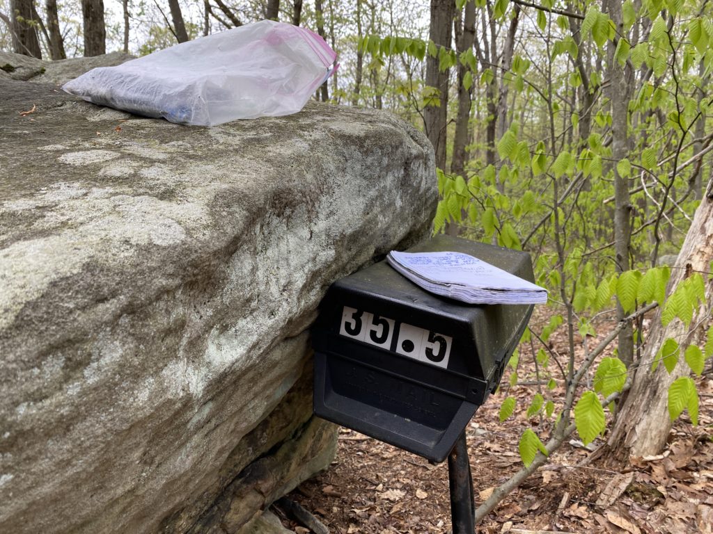
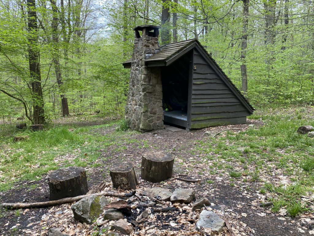
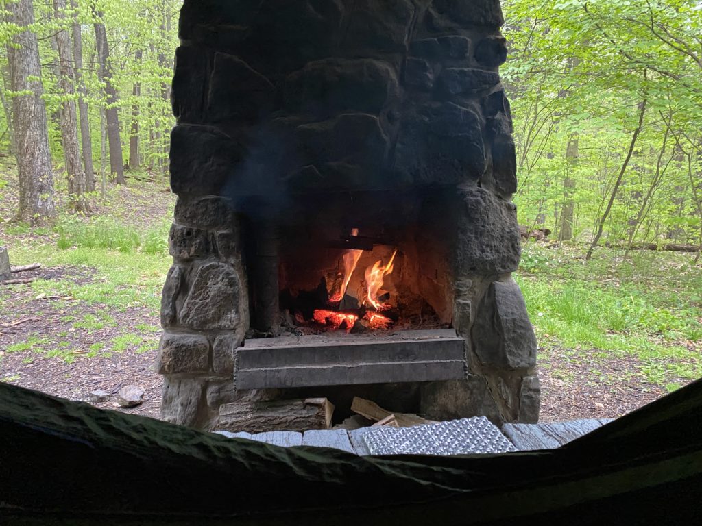
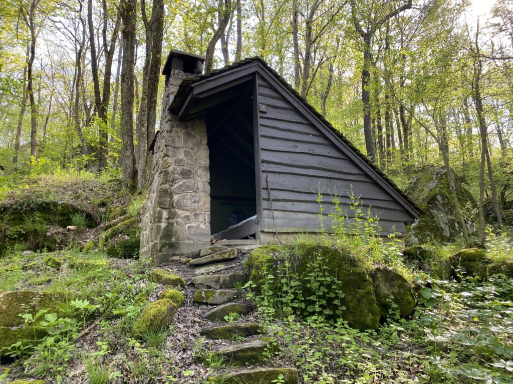
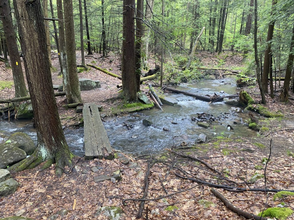
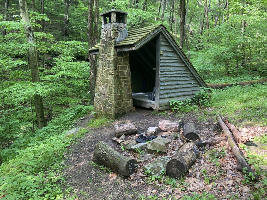
One of the things that made this trip seem doable, as a first-time backpacker, are the eight different shelter areas along the trail. Each one contains a handful of three-sided Adirondack shelters with integrated fireplaces, which can be reserved ahead of time. The shelter areas are well maintained by the PA DCNR, who provide cut firewood, bear-proof trash containers, and clean outhouses.
The spacing and number of shelters allows for a variety of different itineraries, and I decided to do the hike in five nights, starting Monday morning and ending on Saturday afternoon.
Day 1
Seward trailhead to Rt. 271 shelters
Mile markers 70–57
14.5 miles
The first day was interesting for few different reasons:
- I’ve never hiked this section of the trail before.
- My pack was the heaviest it would be the whole trip, with all my food as well as extra water because this section of the trail doesn’t have streams to resupply from.
- A thunderstorm started roughly an hour into my hike.
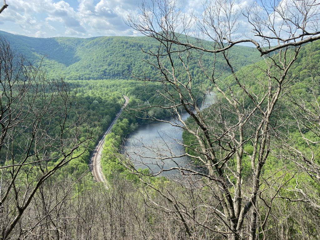
Although it wasn’t ideal that the skies turned black so soon into my trip, it was a good test of my equipment and preparation. I knew it was coming, so I could change into my rain gear and get my backpack covered. It meant that I did’t get to see the views of Johnstown, but my clothes and food stayed dry, so I knew from then on that I could handle whatever the weather threw at me.
I was pretty tired by the time I arrived at the Rt. 271 shelters, which are an additional hike off the trail. But the early start, and first day energy to push through the miles, meant I was done by 2:30pm. That left plenty of time to set up in my shelter, dry off, and get a fire going.
Day 2
Rt. 271 shelters to Rt. 30 shelters
Mile markers 56–47
12.2 miles
The second day of trip was the shortest, and connected together two parts of the trail that I’d been on before with a section in the middle that was new to me. With no rain in the forecast I was able to moderate my pace a bit more, taking extended breaks along the trail to eat and read.
Although I thought that I was alone in the Rt. 271 shelters areas, it turns out there was another thru-hiker on roughly the same itinerary as me. We ended up crossing paths the second day; his name was Paul and this was his second time doing the complete trail. We didn’t hike together much, but it was nice to run into him in the shelter areas in the evenings. In general, I saw very few people on this trip — some days I didn’t pass another person the entire day.
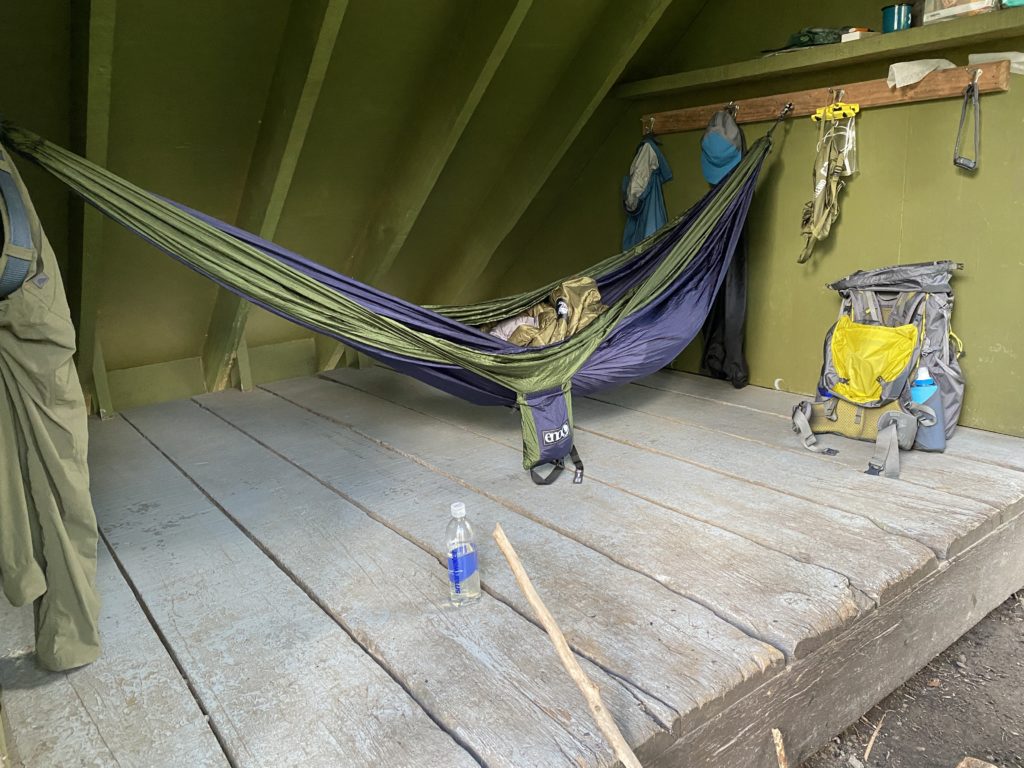
My shelter at Rt. 30 had a great view looking out over the hills, but it was also windy and temperatures that night dipped below 40 degrees. I brought along a top quilt for my hammock, but not an under quilt that would be helpful in colder temps. It was too windy to keep the fire going, like I did the night before, so staying warm proved a bit more challenging. I slept in my coat, stocking cap, and gloves. It worked okay, and I slept through the night, but I think it was the lower boundary I could handle with the gear I brought. Aside from needing to bundle up some nights, I actually ended up sleeping really well on this trip.
Day 3
Rt. 30 shelters to Rt. 31 shelters
Mile markers 46–33
15.1 miles
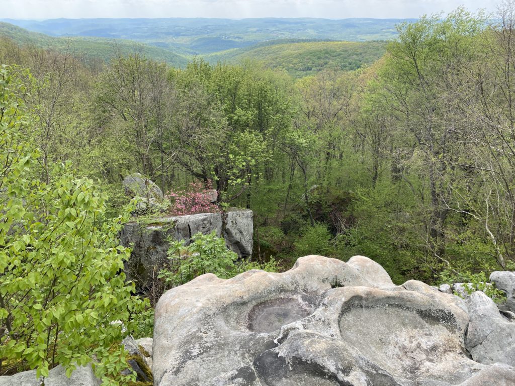
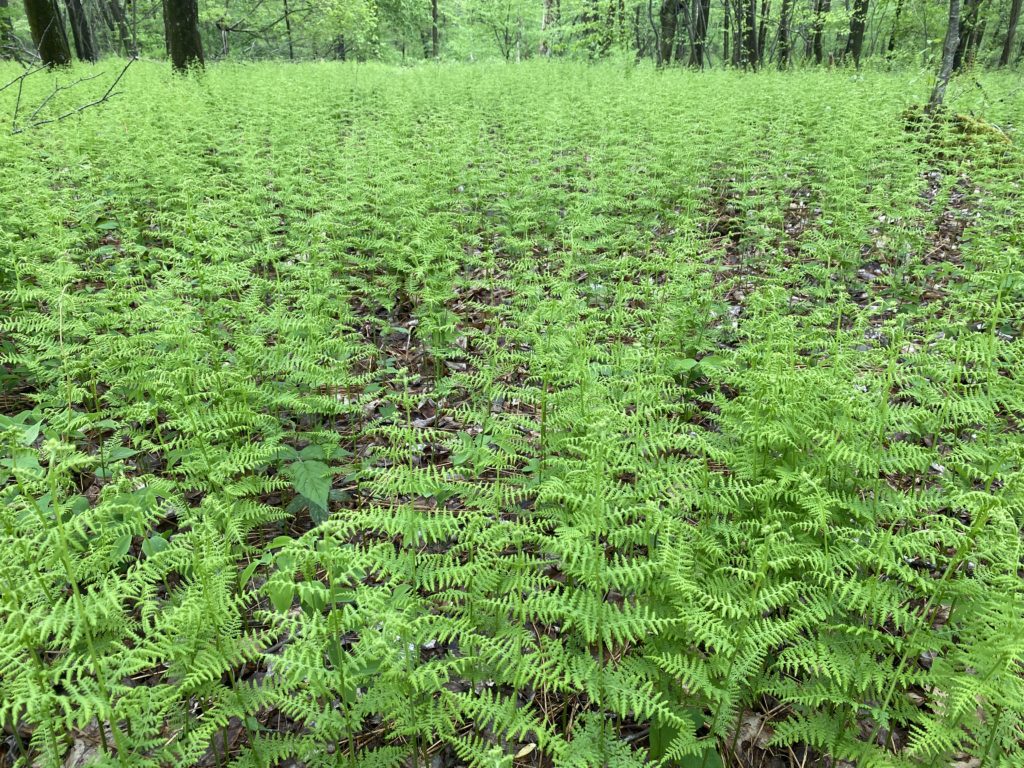
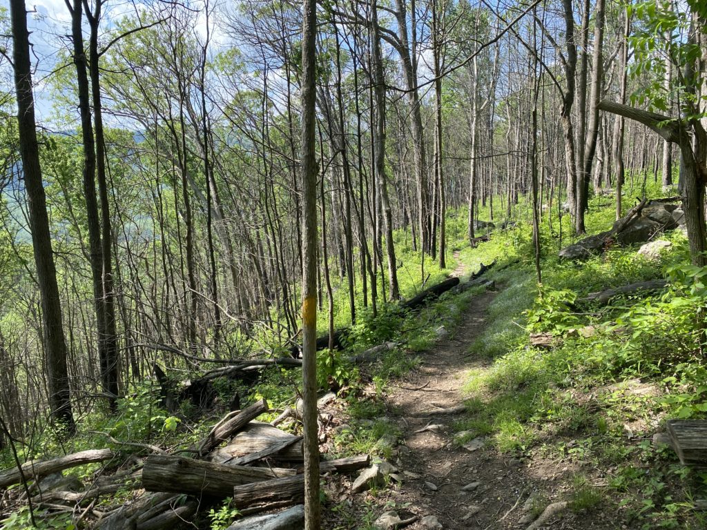
The third day started with one of my favorite sections of the trail, which passes through a pine forest and the Beam Rocks area. It was my longest day yet, and while it started out great I ended up rushing near the end to avoid an incoming rain storm. This meant that I didn’t stop to rest as much as I should have, and some large hills near the end of the day left me pretty drained by the time I reached the Rt 31 shelter area.
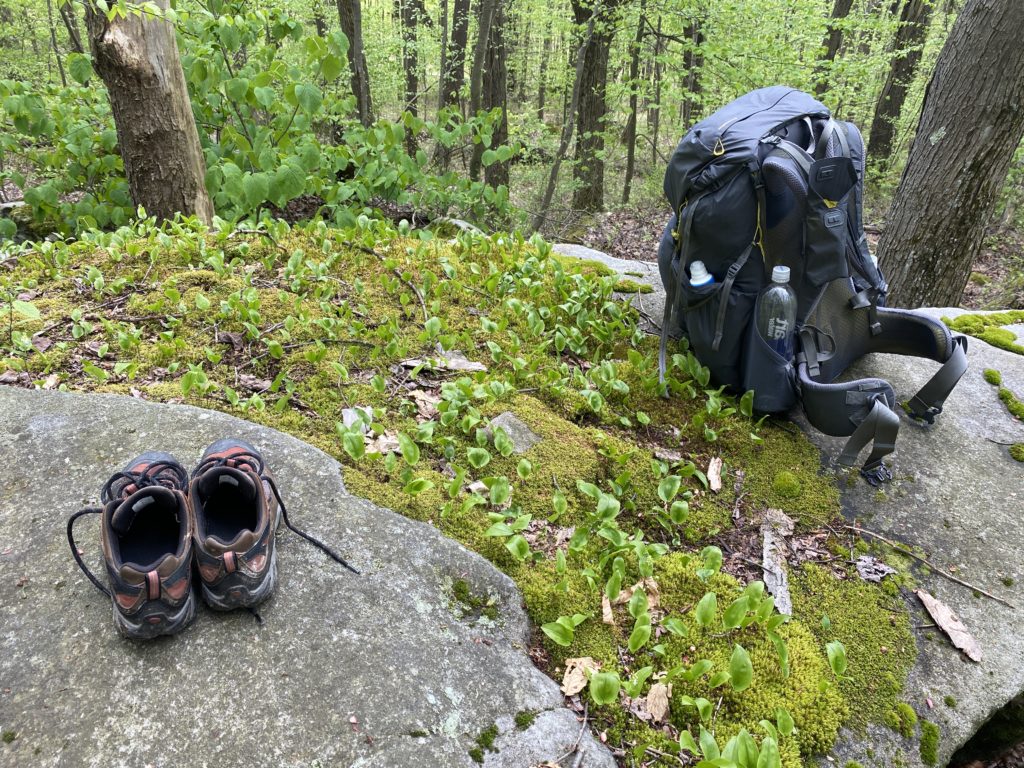
I was past the halfway point now, and despite having very well-worn hiking shoes my feet had swelled significantly after hiking 40+ miles in three days. I got my first blisters, which plagued me through the remainder of the trip because I neglected to bring a proper kit to deal with them. Of all the preparation I did, that was probably the main thing I’ll improve next time.

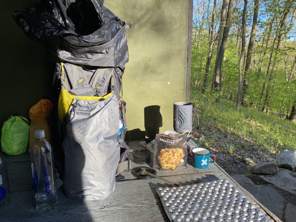
By this point in the hike I had a ritual down when I got to a shelter area. I would dry off, changing out of wet clothes if necessary, then hang up my hammock and start a fire. I brought my iPod Nano with me, which I would listen to while reviewing the map and making some notes about the day. I never listened to music while hiking, I prefer to hear birds and the wind in the trees, but it was nice to have the iPod in the evenings. I didn’t listen on my iPhone because I was trying to save battery. In general, I kept the iPhone in airplane mode the whole time, only turning it on to text or call Molly. That was part of the appeal of a trip like this, disconnecting from the media and world for a week.
Day 4
Rt. 31 shelters to Rt. 653 shelters
Mile markers 32–19
16.2 miles
This was my first day starting out with blisters, so I resolved to take it easy despite the distance I needed to cover. After all, I had all day with nothing to do but walk — why rush? Stopping to let my feet rest really helped, and something I should have been doing all along.
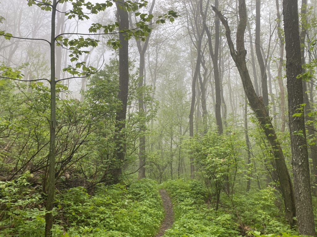
The day started off very damp and foggy, as I walked through the first section that runs through the Seven Springs ski resort area. This is the only part of the trail where the path gets lost a bit, as you wind through the ski lifts and resort cottages.

Day5
Rt. 653 shelters to Ohiopyle shelters
Mile markers 18–7
14.6 miles
I got a late start because when I first woke up it was raining, so I went back to sleep and ended up sleeping a total of 10 hours! There was a lot of rain this day, on and off, so I ended up wearing my rain gear the whole time.
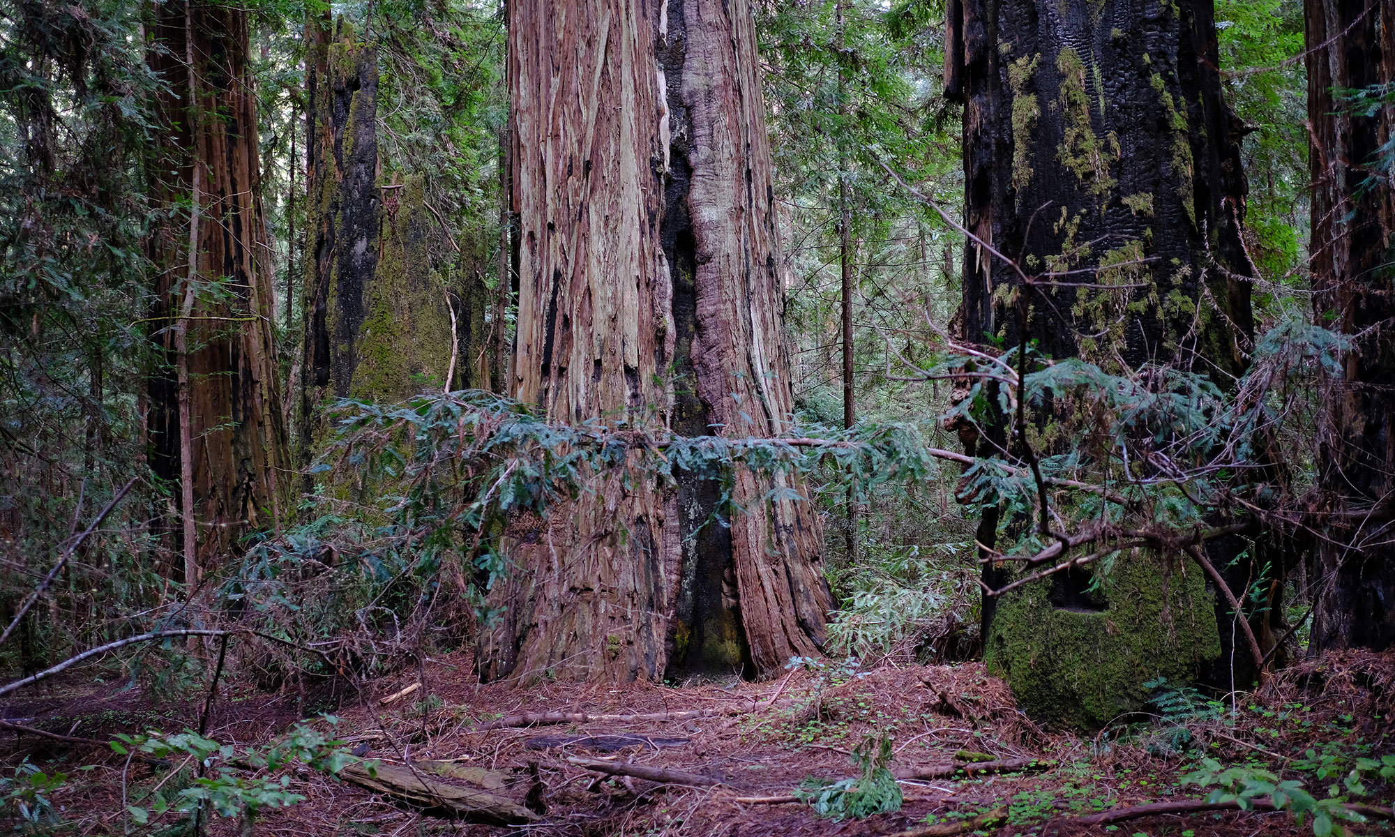
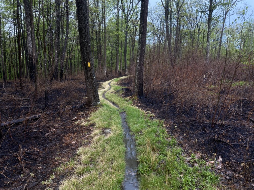
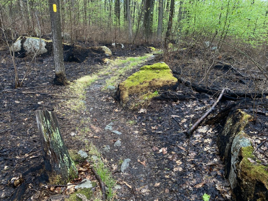
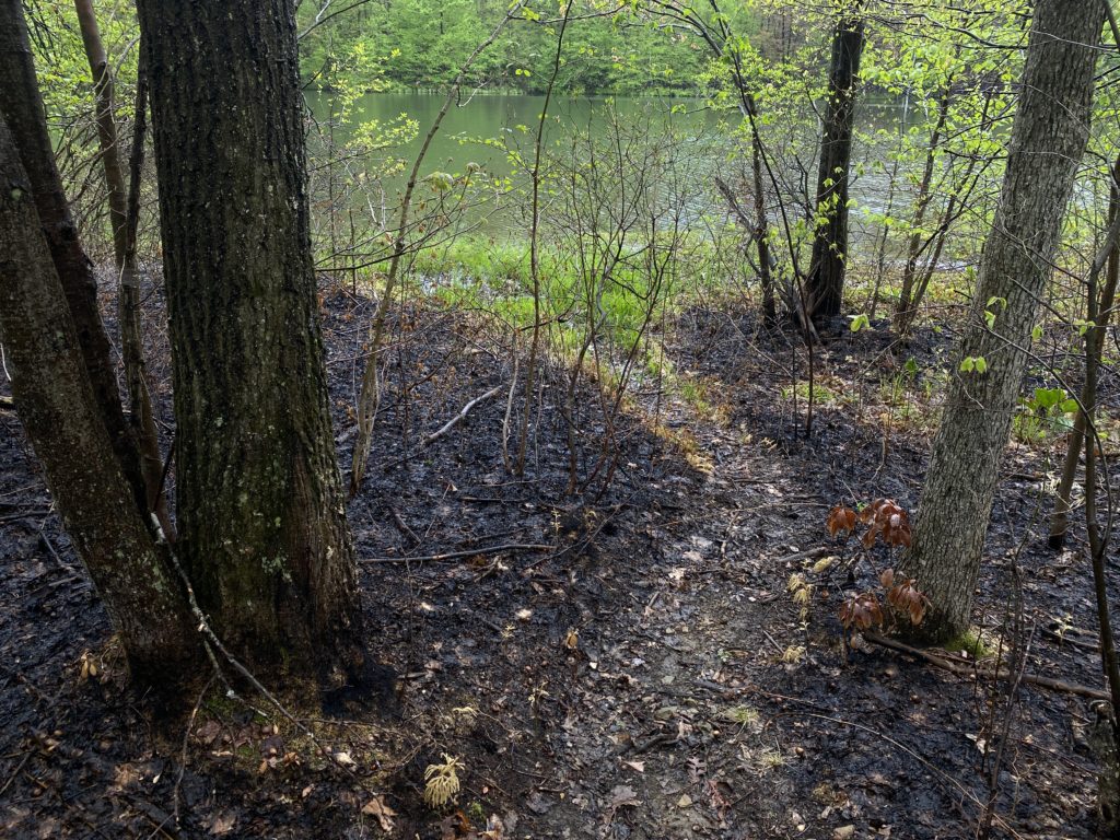
I went through an area where foresters recently did a controlled burn, just a week before. You could still smell the charred wood, and the dramatic visual contrast between the burnt forest and the surrounding lush green was striking, particularly after the rainfall. I know this kind of burn is a good forestry practice, but it’s still shocking to see in person.
Near the end of the hike I began the very steep decent into Ohiopyle. Although I only had 6 miles left when I stopped for the night I was glad that I decided to stay in the Ohiopyle shelters rather than push through to the end.
Day 6
Ohiopyle shelters to Ohiopyle, PA
Mile markers 6–0
6.5 miles
My final day was a short one, but this is also the most challenging stretch of the trail. There are lots of hills, both up and down, but I knew that at the end Molly (and Emoji!) would be waiting for me.
Final thoughts
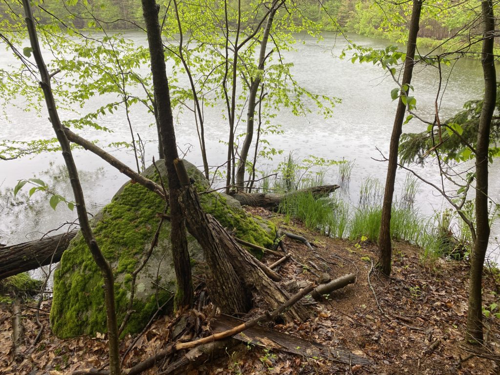
I’m really glad I did this hike, and I hope that it’s the start of taking more trips like this. Although I’ve done a lot of day hiking, this felt different, in a way that was much more connected to the place I was in. About halfway through the trip I found myself thinking “I live here now.” I didn’t mean permanently, of course, but for the moment it was true. This thought made it easier to accept that it was raining, or cold, or muddy. I was in the same relationship to the weather as the birds and deer around me. We lived there, so we dealt with whatever was happening. It also struck me that when the rain stopped, the forest had a special kind of magic to it. I don’t normally get to see that because I’m not there at the end of the storm.
If you are thinking about doing a similar hike of the Laurel Highlands, feel free to reach out with any questions you have and I’ll try to help. I’d also suggest joining the LHHT group on Facebook, which is full of people with lots of experience and knowledge of current conditions. I found it useful to ask questions there and got knowledgeable responses back very quickly.